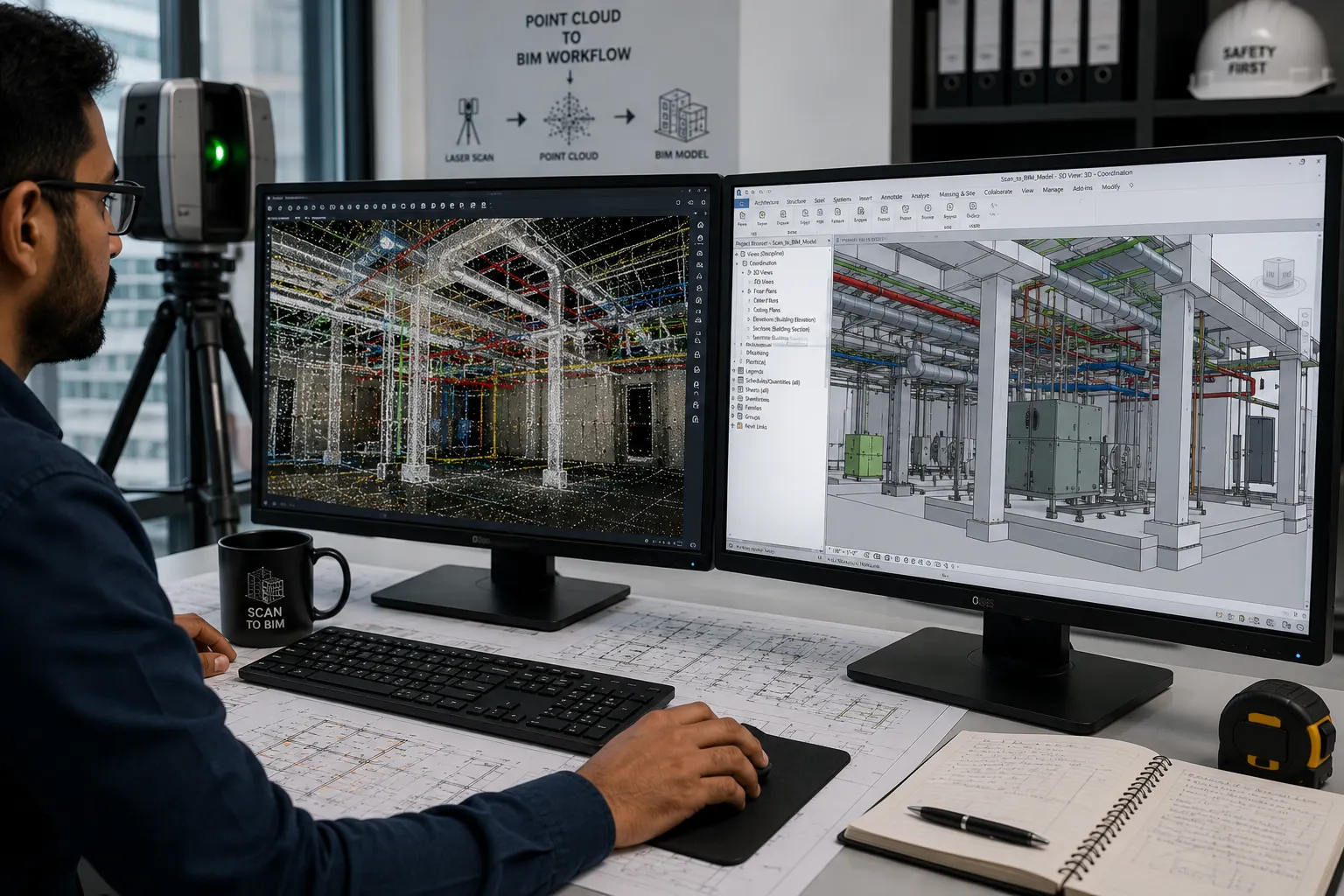
Point Cloud to BIM Services
Optimar Precon delivers Point Cloud to BIM Services for architects, engineers, contractors and facility teams that need accurate as-built models from laser scan data. We convert registered point clouds into coordinated BIM models that support renovation, retrofit planning, clash review, documentation and ongoing asset understanding.
Our scan to BIM services support projects across the USA, UK, UAE, Canada and global delivery programmes with structured modelling, clear scope definition and dependable BIM outputs.
What Do Our Point Cloud to BIM Services Cover?
Our Point Cloud to BIM Services convert laser scan data into structured BIM models that represent existing site conditions. Depending on project requirements, the model can include architectural, structural and MEP geometry for renovation, retrofit, coordination, documentation and as-built workflows.
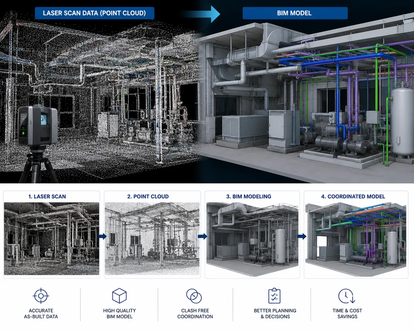
Develop BIM Models From Existing Building Conditions
Registered scan data can capture the geometry of an existing building, plant, structure or site. Our BIM team reviews the available point cloud and develops the required model around the agreed disciplines, modelling scope, project coordinates and required level of detail.
Architectural Point Cloud to BIM
Model walls, floors, ceilings, doors, windows, roofs and other visible architectural elements from suitable registered scan data.
Structural Point Cloud to BIM
Develop structural BIM geometry for beams, columns, slabs, trusses and other visible structural components within the agreed modelling scope.
MEP Point Cloud Modeling
Model visible HVAC, plumbing, electrical and related building-service geometry from scan data where the required MEP scope can be clearly identified.
As-Built BIM Models
Create model-based existing-condition documentation that supports renovation, retrofit, facility review and future project planning.
Heritage & Renovation BIM Modeling
Convert scan information from existing or complex structures into BIM geometry that supports restoration, renovation and existing-condition documentation.
Scan to BIM Services
Develop Revit-based BIM models from registered point cloud information for defined architecture, structure and MEP modelling requirements.
What Can a Point Cloud BIM Model Include?
Model content depends on the available scan information and agreed project scope. Only geometry that can be reasonably interpreted from the source information should form part of the model.
A point cloud represents captured site geometry through a large collection of spatial data points generated during scanning.
The BIM model interprets the agreed visible scan geometry into structured digital building elements that can support defined project workflows.
Have registered point cloud files ready for modelling?
Send the available scan files, required disciplines and expected model deliverables for scope review.
How Our Scan to BIM Services Workflow Works
Our Scan to BIM Services follow a structured process from point cloud review and scope definition through model development, quality checks and final BIM delivery. Point Cloud Modeling Services are configured around the supplied scan information, required disciplines and agreed project outputs.
What Should You Send for Point Cloud Modeling?
The modelling scope should begin with the latest registered scan information and clearly defined project requirements.
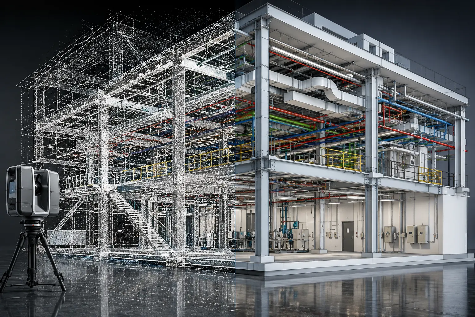
From Registered Point Cloud to Structured BIM Model
Each stage focuses on converting the supplied scan information into an organised model that reflects the agreed existing-condition scope.
Assess Scan Data
Review point cloud files, available reference information, project coordinates and required modelling disciplines.
Confirm Model Scope
Establish model boundaries, required elements, project LOD, coordinates and expected BIM deliverables.
Develop BIM Geometry
Create architectural, structural or MEP elements from identifiable existing conditions within the supplied scan.
Review Model Alignment
Check model geometry against the point cloud, agreed coordinates and defined scope requirements.
Issue BIM Outputs
Prepare the agreed Revit model, documentation views and supporting project files for delivery.
Define the BIM Requirements Before Modeling Begins
Point cloud accuracy alone does not define the final BIM model. The project team should also agree what needs to be modelled and how the information will be used.
What Can the Final Delivery Include?
Deliverables depend on the project scope, software environment and required downstream use of the model.
Model development should reflect identifiable conditions available within the supplied scan and agreed project references.
Confirm the required disciplines, LOD and deliverables before modelling begins to avoid unnecessary model development.
Elements that cannot be clearly interpreted from the point cloud should be identified rather than assumed during model development.
Ready to review your scan-to-BIM requirements?
Send your point cloud files, required disciplines and expected model outputs for scope review.
Where Point Cloud Modeling Supports Existing-Condition Projects
Our Point Cloud Modeling Services and Scan to BIM Services support projects where teams need a structured digital representation of existing site conditions before design, coordination, renovation or documentation work begins.
Renovation & Retrofit
Use scan-based BIM models to establish existing geometry before renovation, retrofit design or modification work begins.
As-Built Documentation
Develop structured existing-condition models and model-generated documentation from available point cloud information.
MEP Retrofit Coordination
Model visible services and surrounding building geometry to support routing, clearance review and retrofit coordination.
Plant & Industrial Areas
Convert scan information from equipment-rich or geometrically complex spaces into organised BIM geometry for defined project needs.
Heritage & Restoration
Document visible existing geometry in older or complex structures to support restoration planning and record information.
Infrastructure & Existing Assets
Use captured scan geometry as a reference for defined infrastructure, transportation or existing-asset modelling requirements.
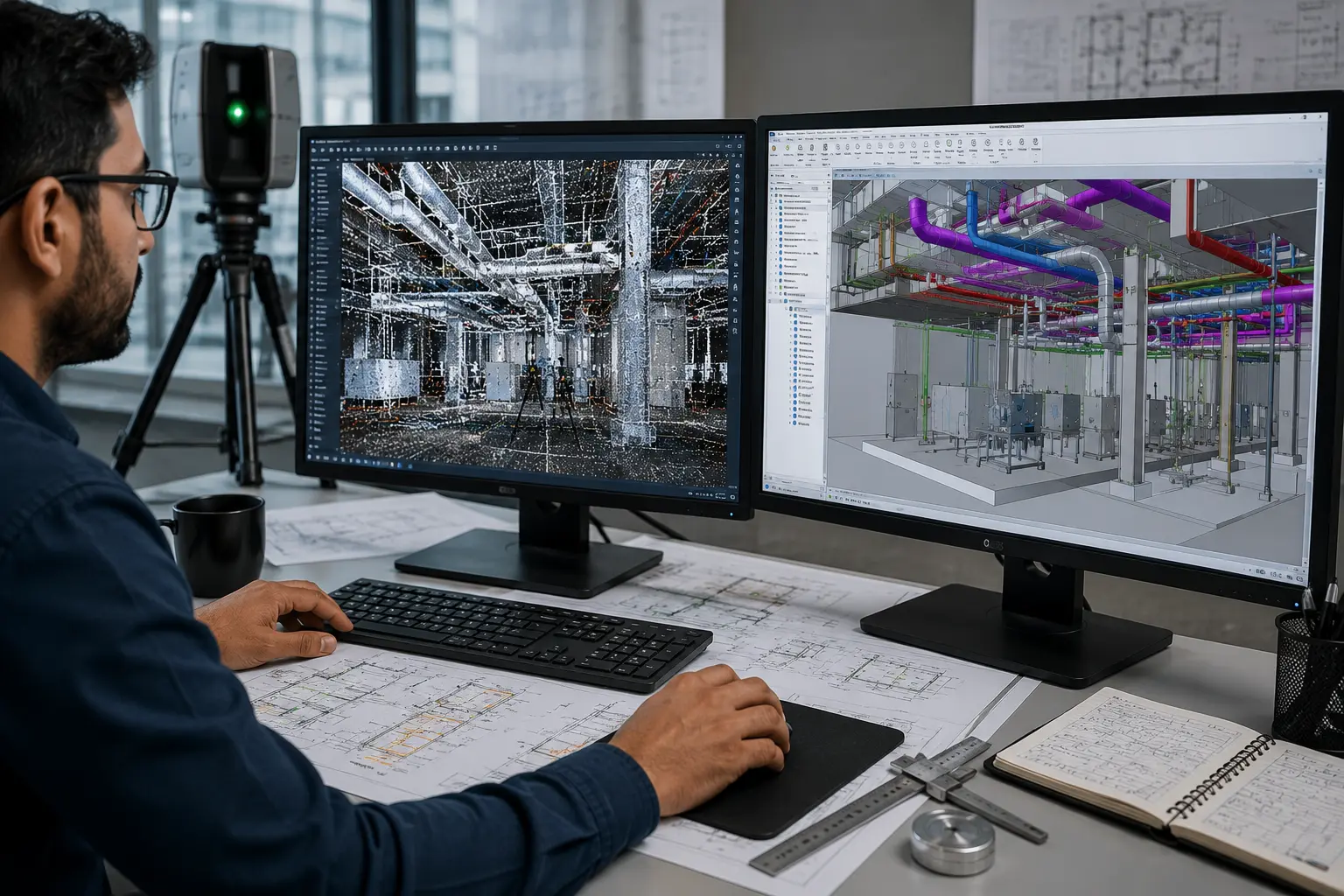
Point Cloud to BIM Delivery Built Around Defined Project Requirements
Our BIM team develops scan-based models around the supplied point cloud information, required disciplines, project coordinates, LOD expectations and agreed deliverables.
Tools Used Across the Scan to BIM Workflow
The software workflow depends on the supplied point cloud format, modelling disciplines, coordination requirements and final BIM outputs.
Use the Model Beyond the Initial Scan Conversion
Depending on the agreed scope, the resulting BIM model can support later project workflows that require dependable existing-condition geometry.
Need additional Point Cloud to BIM capacity?
Send your scan files, modelling requirements and expected outputs for project review.
Point Cloud to BIM Services FAQs
Answers to common questions about Point Cloud to BIM Services, Scan to BIM Services, point cloud file formats, Revit model development, LOD requirements and existing-condition BIM workflows.
What are Point Cloud to BIM Services?
Point Cloud to BIM Services convert registered laser scan data into structured BIM models that represent defined existing building, structural or MEP conditions for renovation, coordination and documentation workflows.
What is included in Scan to BIM Services?
Scan to BIM Services can include point cloud review, model scope definition, Revit model development, geometry alignment checks and delivery of agreed existing-condition BIM outputs.
What point cloud file formats can you work with?
Common project inputs include RCP, RCS, E57 and LAS files. The available scan data and registration status should be reviewed before model development begins.
Can you create architectural, structural and MEP models from scans?
Yes. Point Cloud Modeling Services can cover architectural, structural and MEP disciplines where the required existing geometry is visible in the supplied scan and included within the agreed model scope.
Can Point Cloud to BIM models support renovation and retrofit projects?
Yes. Existing-condition BIM models can provide a structured geometric reference for renovation, retrofit design, coordination and documentation of defined existing building conditions.
What level of detail can be developed from point cloud data?
The required model detail should be agreed before modelling starts. It depends on the project purpose, scan visibility, required disciplines and the level of geometry and information needed in the BIM model.
Can the resulting BIM model be used for coordination?
Yes. Where suitable for the project scope, the existing-condition model can support model review, retrofit coordination, clearance assessment and comparison with new design or construction information.
What software is used for Point Cloud to BIM modeling?
The workflow can use Autodesk ReCap for point cloud review, Autodesk Revit for BIM model development and Navisworks for model review or coordination where required.
Ready to Convert Your Point Cloud Into a BIM Model?
Send your registered scan files, required disciplines, model requirements and expected deliverables. Our team can review the information and discuss the appropriate Point Cloud to BIM scope.